
ADCP Case Studies
Real-world deployments of Acoustic Doppler Current Profilers across rivers, estuaries, coastal waters and the open ocean — discharge measurement, flood monitoring, current profiling and long-term mooring observation.
Ocean and River ADCP Deployments
Asia-Pacific Oceans
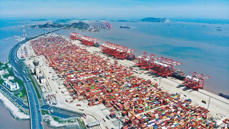
Yangshan Deep-Water Port
Max Depth : 15+ m berths
Flow Velocity : 2.88 m/s
Application: Port & Channel
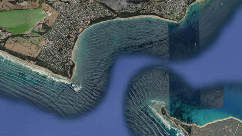
The Rip, Port Phillip Heads
Max Depth: ~100 m canyon
Peak Current: >3.5 m/s
Middle East & Africa Oceans
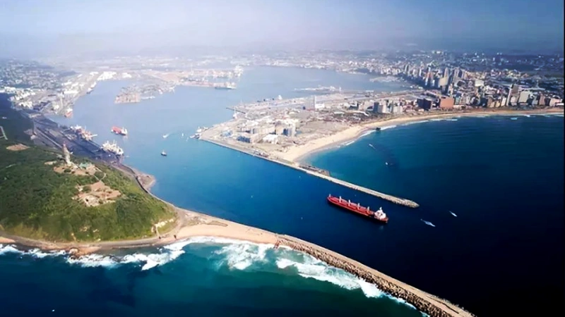
Coral South FLNG, Mozambique Channel
Max Depth: ~2,000 m
Peak Current: 0.6 m/s (monthly mean)
Europe Oceans
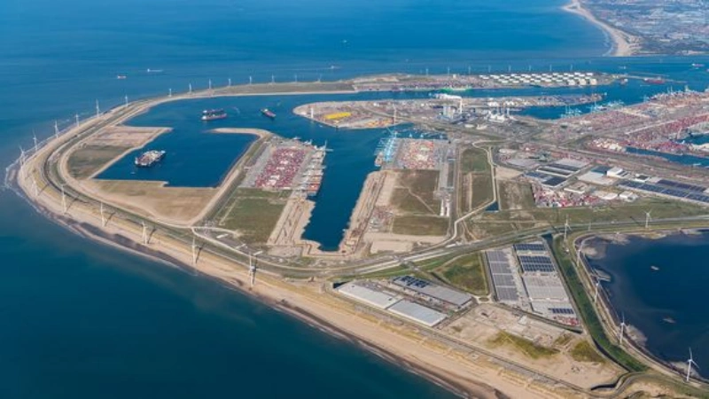
Port of Rotterdam, Maasvlakte 2
Max Depth: up to 18 m (works)
Peak Current: Strong (gap jets)
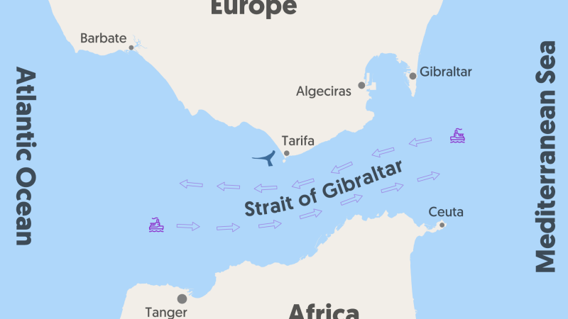
Strait of Gibraltar
Max Depth: ~300 m (sill)
Peak Current: 1.2 m/s (M2)
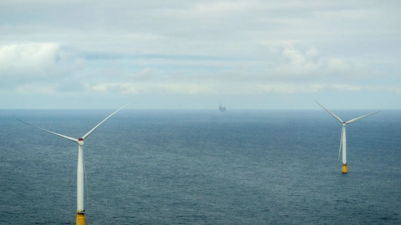
North Sea Offshore Wind (Hywind)
Max Depth: 110 m
Peak Current: Tidal-dominated
South America Oceans
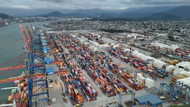
Port of Santos
Max Depth: 15–16 m channel
Peak Current: Estuarine tidal
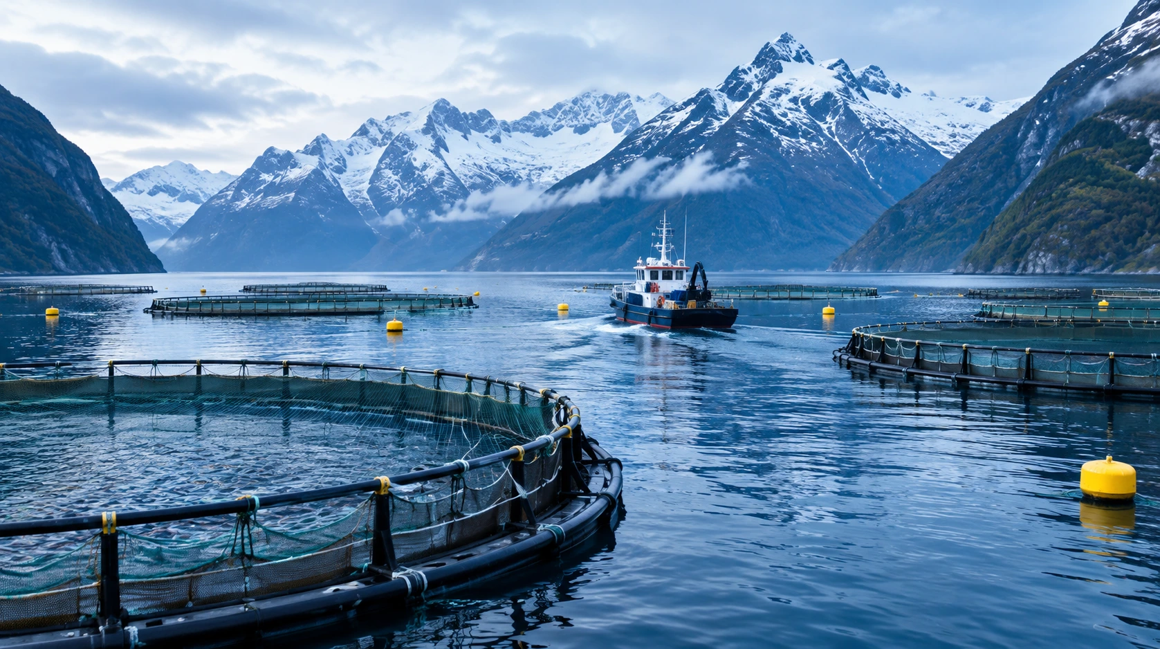
Strait of Magellan & Magallanes Fjords
Max Depth: 20–100+ m fjords
Peak Current: Narrow-pass flows
North America Oceans
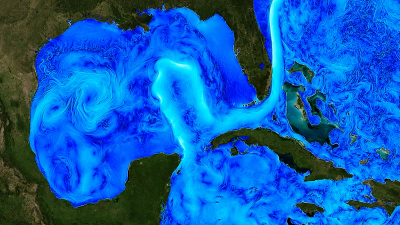
Gulf of Mexico Loop Current
Max Depth: 1,000 m profile
Peak Current: >1 m/s (design)
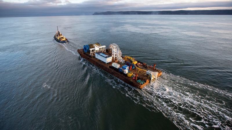
Bay of Fundy, Minas Passage (FORCE)
Max Depth: ≤100 m passage
Peak Current: >5 m/s
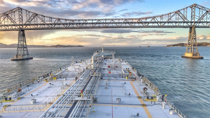
San Francisco Bay (NOAA PORTS)
Max Depth: 110+ m (Golden Gate)
Peak Current: Strong ebb/flood
Marine & Coastal
Ocean Current Monitoring Case Studies
Current profiling from coastal buoys to 650 m deep-ocean moorings — for offshore energy, navigation safety, circulation research and coastal environmental monitoring.
Offshore Energy
Turbine siting and foundation scour both start with a current record. A 12-month mooring captures the extremes that design codes actually ask for.
Port & Navigation
Pilots route ships on current, not tide tables. Real-time profiles keep traffic moving safely through narrow, busy channels.
Climate & Circulation
Boundary currents like the Kuroshio move heat across the ocean. Long mooring records turn a famous current into a measured time series.
Environmental Monitoring
Coastal buoys pair current with water quality, so regulators can trace where a plume came from — and where it is going.
Choose the platform for the depth, then the configuration for the job. Cabled Direct-Reading for surveys and real-time stations; battery Self-Contained for moorings that must run unattended for months.
| Ocean Environment | Recommended ADCP | Typical Configuration |
|---|---|---|
| Coastal / Shallowto ~70 m | Ocean-ADCP-600-FA4 | Bottom-mounted or buoy-integrated |
| Fixed Coastal Platformcompact phased-array | Ocean-ADCP-600-PA5 | Compact phased-array, AUV-integrated |
| Shelf Seato ~160 m | Ocean-ADCP-300-FA4 | Mooring array or shipboard |
| Mid-deep Waterto ~400 m | Ocean-ADCP-150-PA4 | shipboard or mooring operations |
| Deep Oceanto ~650 m | Ocean-ADCP-75-PA4 | Shipboard or deep mooring |
The Oceantek ADCP Lineup Referenced in These Ocean Case Studies
From a 600kHz near shore survey profiler to a 650 m deep-ocean instrument — every model cited above,with the range that made it the right choice for its site.
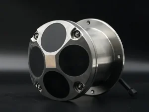
Ocean-ADCP-600-FA4
High-resolution current profiling up to 70m range. Ideal for shallow water and coastal monitoring with compact 600 kHz transducer
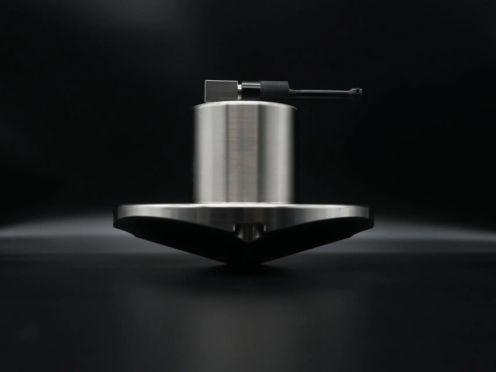
Ocean-ADCP-300-FA4
Balanced range and resolution for shelf seas. 300 kHz acoustic frequency delivers reliable data down to 160m depth
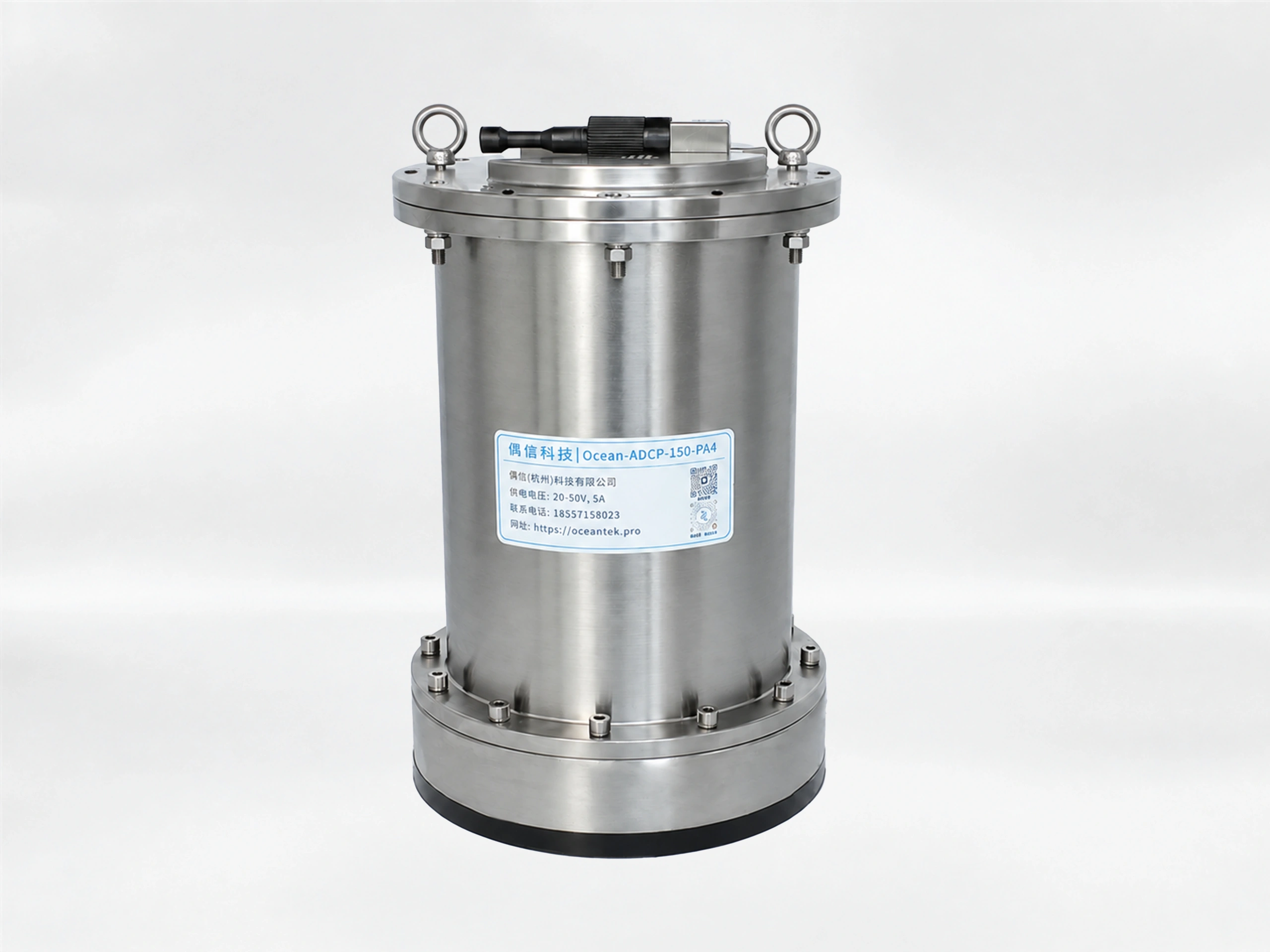
Ocean-ADCP-150-PA4
An new option for mid-water current research,with 400m max profiling range and 540m bottom tracking.
Ocean-ADCP-75-PA4
Deep-water current profiling reaching 650m. 75 kHz long-range performance for open-ocean and basin-scale deployments
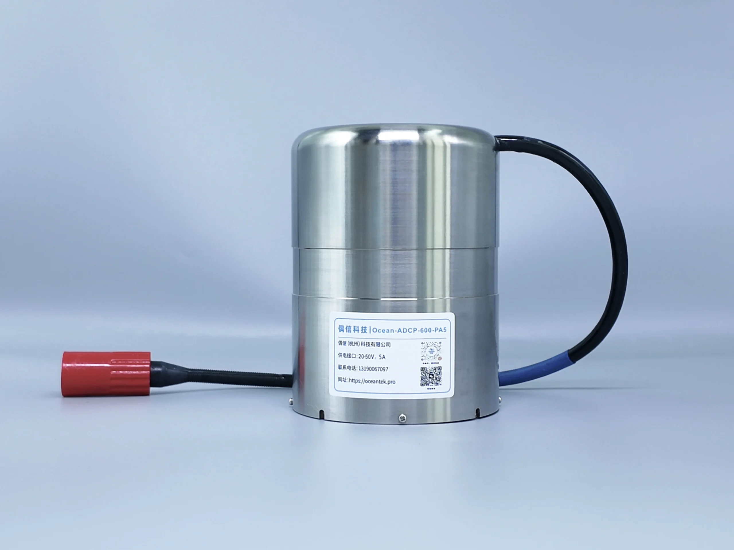
Ocean-ADCP-600-PA5
600kHz phased-array ADCP in a Φ92mm micro-casing. For buoys, compact platforms, and space-constrained deployments. DR & SC.
Asia-Pacific Rivers
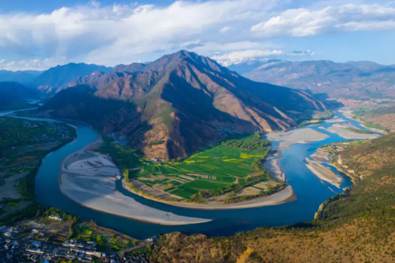
Yantze River
Max Depth : approximately 120m
Flow Velocity : 0.2-1.5m/s
Sediment Level : Medium-High
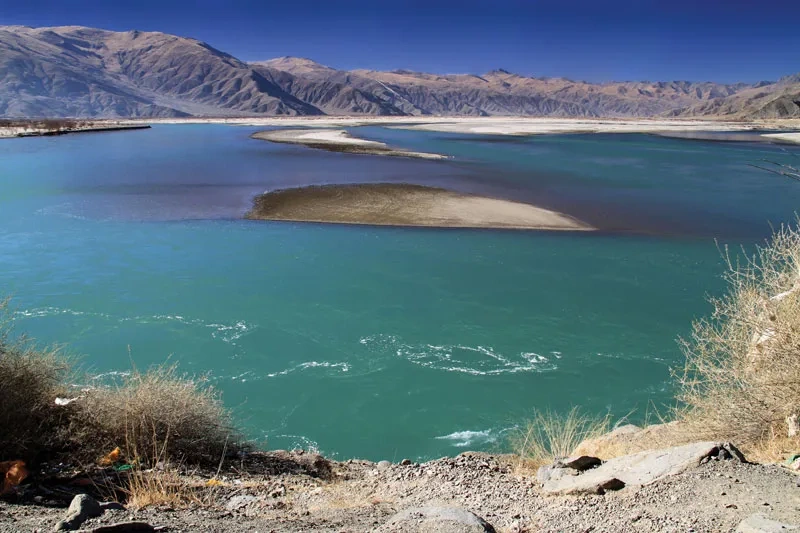
Brahmaputra river
Max Depth : approximately 50m
Flow Velocity : 1.0-4.0m/s
Sediment Level : Very High
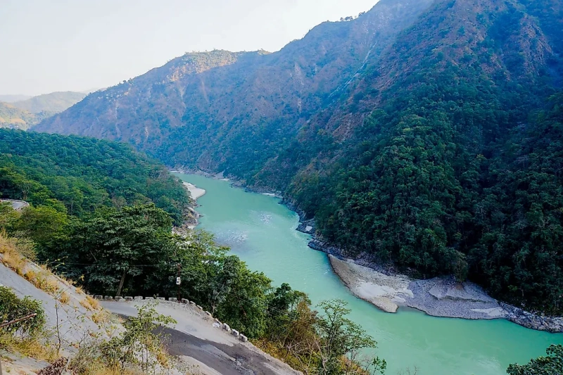
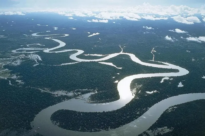
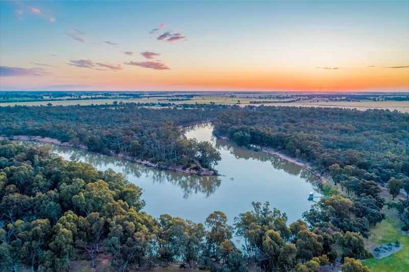
Mekong river
Max Depth : approximately 50m
Flow Velocity : 0.5-2.5m/s
Sediment Level : Medium-High
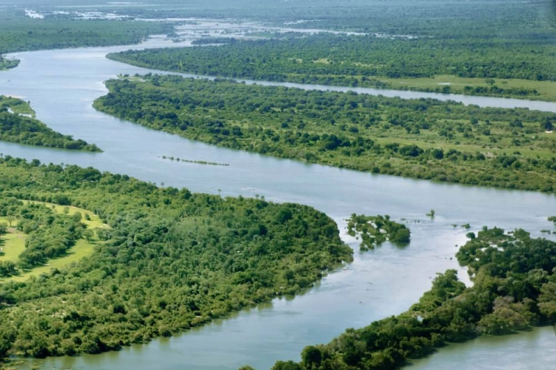
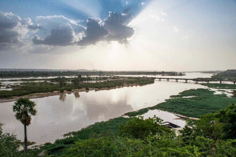
Middle East & Africa Rivers
Europe Rivers
South America Rivers
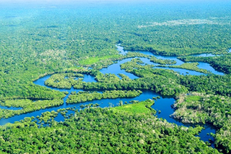
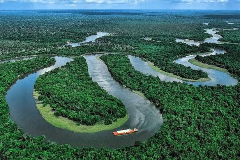
Amazon River
Max Depth : approximately over 90m
Flow Velocity : 1.0-3.0m/s
Sediment Level : High(Whitewater)
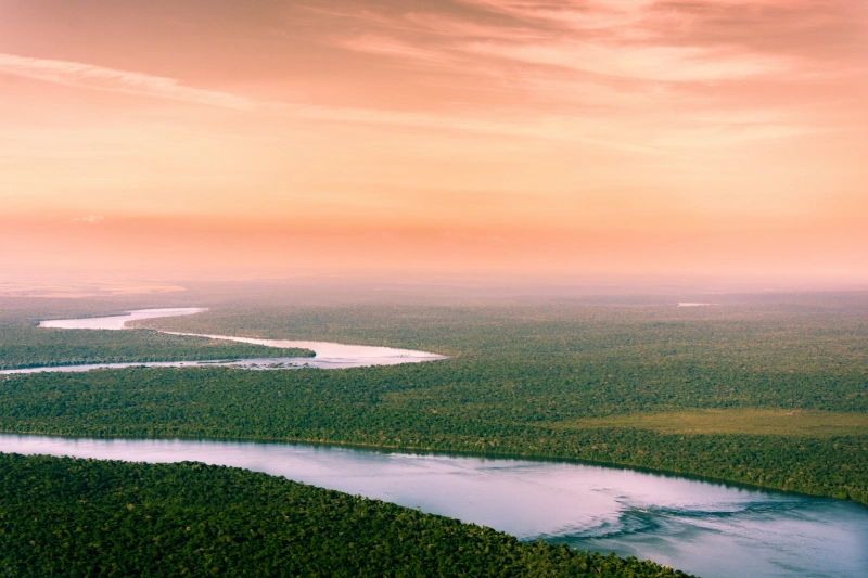
Parana River
Max Depth : approximately 40m
Flow Velocity : 0.5-2.5m/s
Sediment Level : Meduim-High
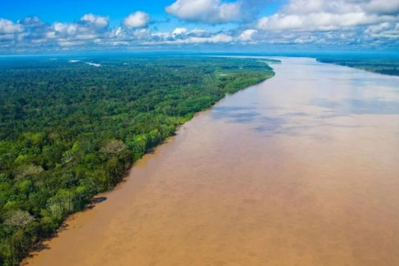
Maderia River
Max Depth : approximately 80m
Flow Velocity : 1.0-3.0m/s
Sediment Level : High(Amazon’s Muddiest)
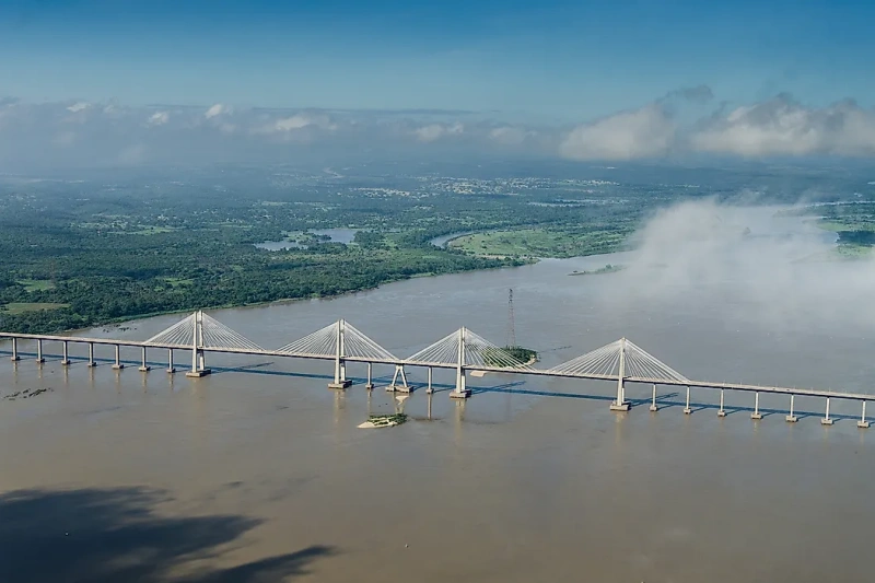
North America Rivers
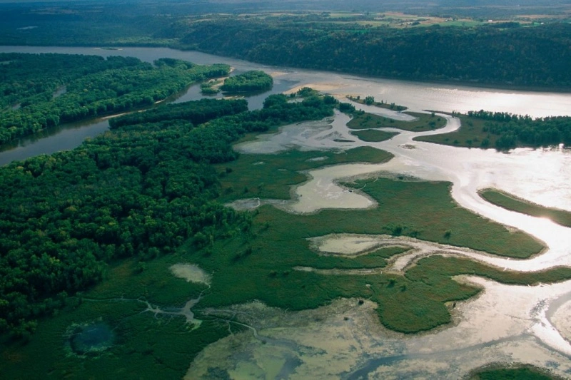
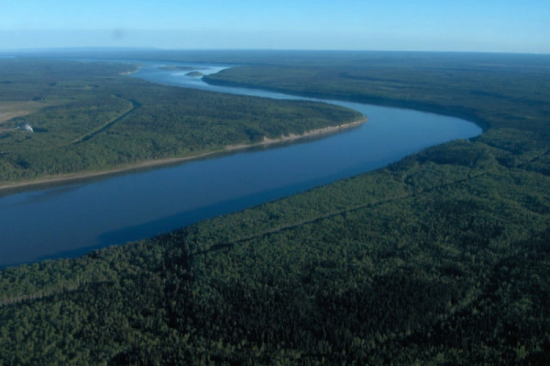
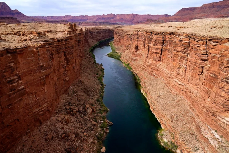
Colorado River
Max Depth : approximately 30m
Flow Velocity : 0.3-2.0m/s
Sediment Level : Meduim-High(Pre-Dam)
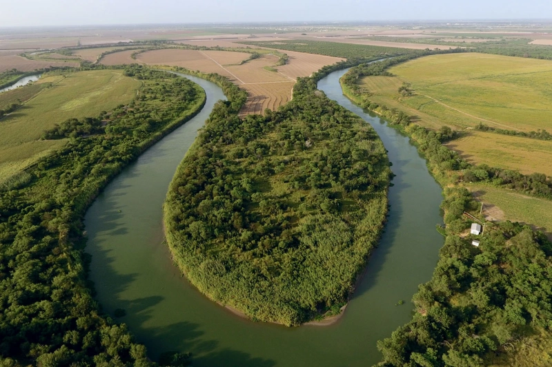
Rio Grande River
Max Depth : approximately 20m
Flow Velocity : 0.5-2.0m/s
Sediment Level : Meduim-Low
Freshwater & Hydrology
River Flow Measurement Case Studies
How ADCPs measure discharge, feed flood forecasts and map velocity — from shallow irrigation channels to deep, sediment-heavy torrents.
Flood Forecasting
Flood forecasts live and die on rating curves, and rating curves depend on measured cross-sections. ADCP surveys keep those curves honest as the channel moves.
Water Resources
Discharge is the unit water managers allocate. Measuring it across the section — instead of estimating from one point — settles the numbers with data.
Hydraulic Engineering
Bridges, dams and channels live in a flow field, not a water level. Cross-section velocity maps give engineers the real conditions a structure must survive.
Environmental Monitoring
Sediment transport, thermal stratification and aquatic habitat all follow flow structure — the one thing a single-point meter cannot show.
Frequency is a depth decision. The deeper the water, the lower the acoustic frequency needed to reach the bed. Sediment and turbulence then decide whether you survey from a boat or leave a fixed station measuring 24/7.
| River Type | Recommended ADCP | Typical Configuration |
|---|---|---|
| Medium River10–60 m | River-ADCP-600-FA5 | Moving-boat or fixed deployment |
| Small / Shallow River<10 m | River-ADCP-M9 | Dual-frequency moving-boat · ISO 748 |
| Permanent Gauging Station | HADCP-600-FA3 | Side-looking fixed station · 24/7 |
The Oceantek ADCP Lineup Referenced in These River Case Studies
From a 1.5 kg river survey profiler to a horizontal adcp for river bank— every model cited above,with the range that made it the right choice for its site.
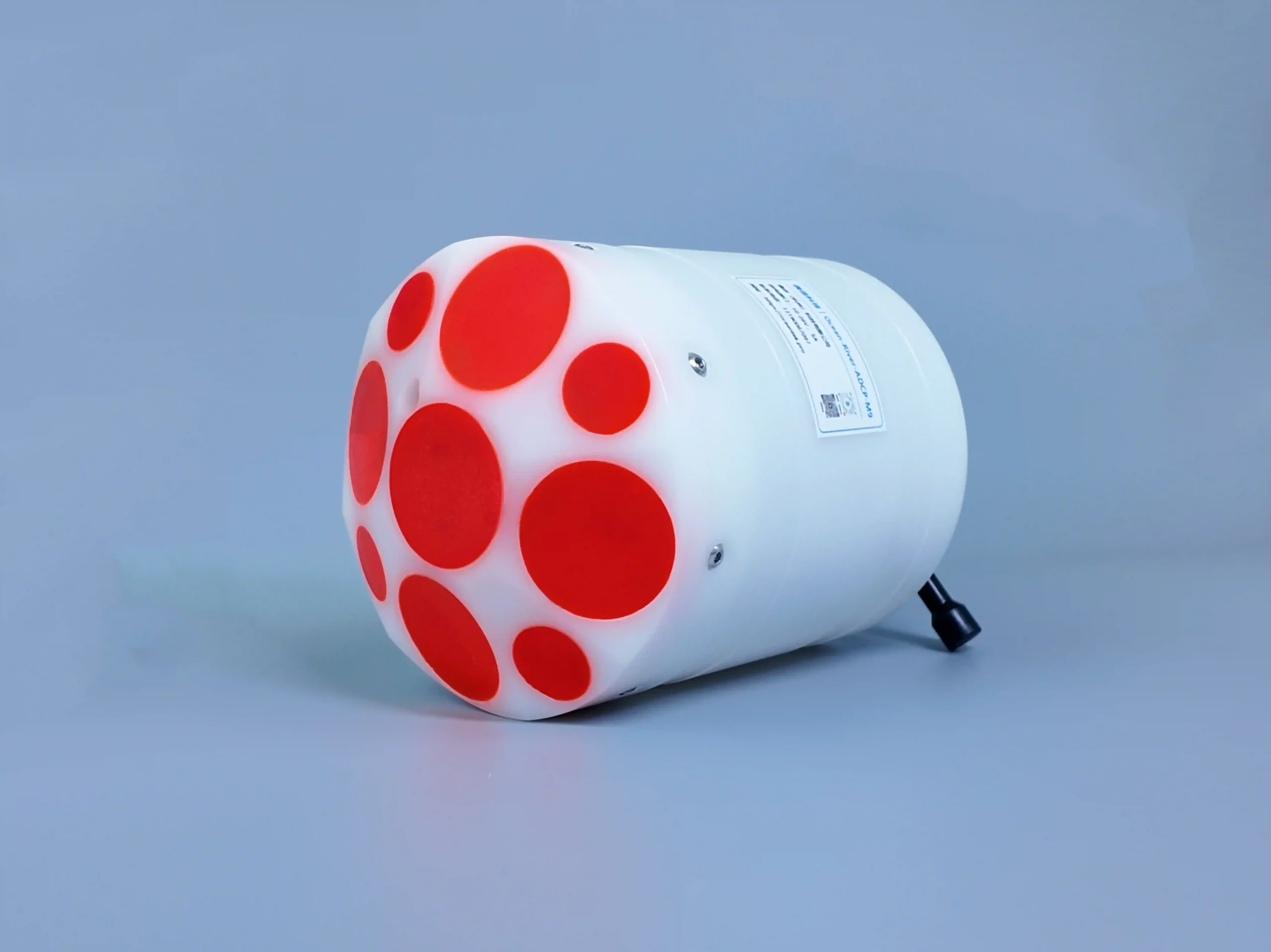
River-ADCP-M9
Multi-frequency ADCP with vertical beam. 9 transducers for automatic depth cell adjustment in moving-boat discharge measurement
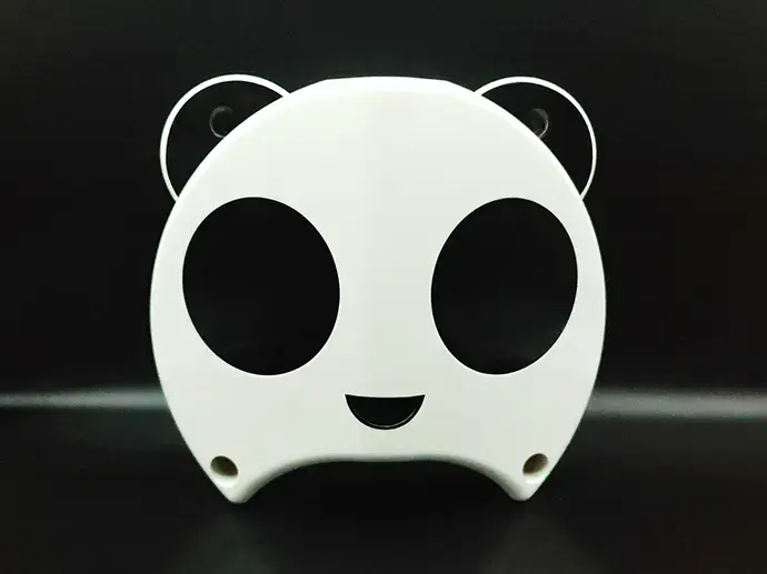
HADCP-600-FA3
Horizontal ADCP for channel discharge measurement. 600 kHz high-precision side-looking design, ideal for river and estuary flow monitoring
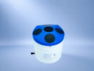
River-ADCP-600-FA5
5-beam piston ADCP for river discharge measurement. A dedicated fifth vertical piston beam provides independent bathymetry.
Not sure which ADCP fits your river or ocean site?
Send us the water body, depth range and deployment type. Our engineers reply with a recommended model and configuration — usually within one business day.