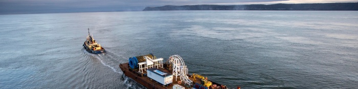
Strait of Gibraltar
Between Spain & Morocco
No stretch of water has taught oceanographers more about measuring currents than the Strait of Gibraltar. Its two-layer exchange, tidal pump and decade-long ADCP records make it the reference case for long-term ocean observation — and a template for any program that must resolve two flows moving in opposite directions.
01 THE SETTING
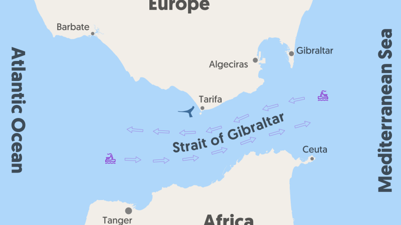
The Strait of Gibraltar connects a salt-losing Mediterranean to the Atlantic. The result is the textbook inverse-estuarine circulation: roughly 1 Sv of Atlantic water (~36.2 psu) flows east in the upper layer, while saltier Mediterranean water (~38.4–38.5 psu) exits west as a deep undercurrent. The interface — the depth of maximum vertical shear — sits near 147 m over Camarinal Sill.
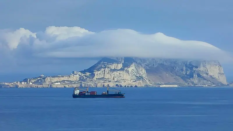
The bathymetry concentrates everything. The flow is hydraulically controlled at two sills — Espartel in the west and Camarinal, ~280–300 m deep, at the narrows — and the exchange flips between maximal and submaximal states across tidal cycles and seasons.
02 WHAT THE DATA SHOW
The strait's defining discovery is that the tide is not noise on top of the exchange — it is a major part of the exchange mechanism itself:
- Tidal amplitude — year-long sill moorings (1985–86) measured an M2 tidal current amplitude of ~1.2 m/s, strong enough to temporarily reverse both the upper inflow and the lower outflow during parts of each tidal cycle.
- Interface motion — the interface depth oscillates ~51 m in phase with the tidal current: the upper layer is deep on the inflowing tide and shallow on the outflowing tide.
- Rectification — because more Atlantic water enters when the upper layer is thick and more Mediterranean water leaves when it is thin, the correlation produces a net transport — tidal transport amplitudes of 2.3 Sv in and 1.3 Sv out at the sill, with tidally rectified fluxes contributing up to ~45% of the mean exchange.
- Measured transports — ADCP-based estimates over Camarinal Sill give about 0.78 Sv in and 0.67 Sv out, with the interface oscillating roughly 19 m on a fortnightly cycle.
03 WHERE CURRENTS THREATEN OPERATIONS
Resolving the interface
Two layers flow in opposite directions separated by a shearing interface near 147 m — miss the shear zone and the exchange measurement is wrong by design, not by error.
Internal bores
Bores released from the sill arrive with vertical velocities of ±50 cm/s and the strongest shears measured in the strait — a fast, violent feature that aliases slow-sampling instruments.
The climate baseline
The evaporation-driven exchange fingerprints Mediterranean heat and freshwater budgets; detecting its long-term change is only possible against a decade-scale measured baseline.
Mooring survival
Strait sills are biologically active and heavily fished. Instruments must survive repeated fouling cycles and fishing pressure between recoveries that may be a year apart.
04 MEASUREMENT STRATEGY BY GEOMETRY
Gibraltar's measurement history is a catalogue of ADCP geometries, each matched to a physical feature:
| Geometry | Feature Resolved | Approach |
|---|---|---|
| Bottom-mounted upward-looking at the sills | Both layers and the interface from one instrument | Seabed frame profiling near-bottom to near-surface — no mooring-line motion, no interface shadowing |
| Complementary S/T moorings | The 37 psu isohaline defining the interface | Salinity/temperature sensors correcting the mean exchange for tidal interface correlation |
| Vessel-mounted & lowered surveys | Internal bores and shear structure at the narrows | Intensive transects (CANIGO-type) capturing bore passages with ±50 cm/s vertical velocities |
| The long anchor | Decade-scale exchange variability | A continuous record at Espartel Sill — 2004 to 2014 — the endurance-first station |
05 THE OCEANTEK SOLUTION
Endurance-first instruments for multi-year sill records, from seabed frames to calibration transects:
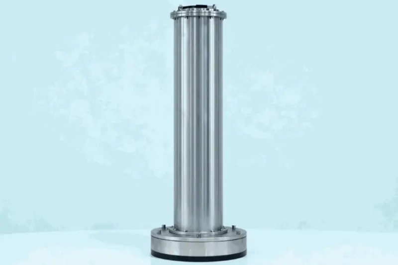
Ocean-ADCP-75-PA4
Ocean ADCP · 75 kHz- 550/650 m profiling range
- Bottom-track to 1000 m
- Titanium to 6000 m
- ≤20 W · multi-month endurance
Role: one instrument covers the ~300 m sill column from a bottom frame — the Camarinal geometry, built for multi-year records.
View product →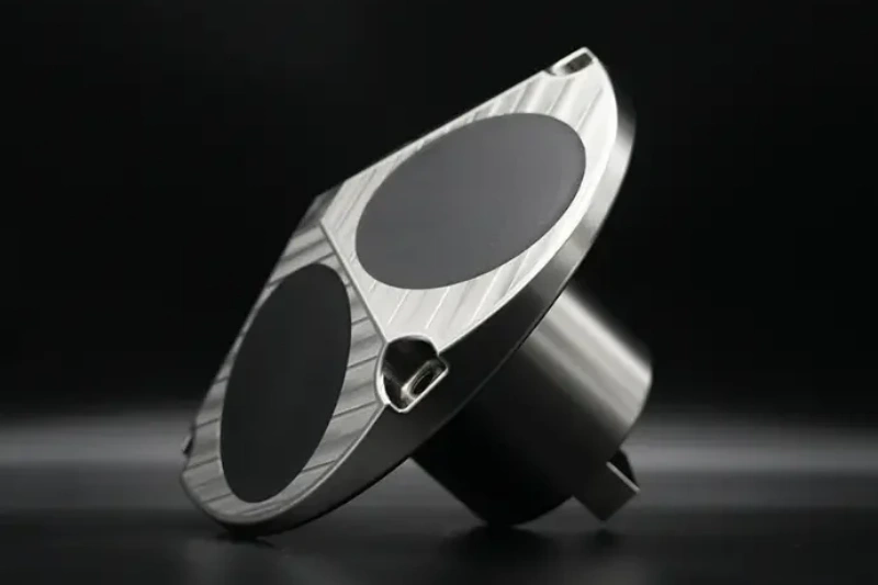
Ocean-ADCP-300-FA4
Ocean ADCP · 300 kHz- 160 m profiling range
- 1–8 m cells
- ±20 m/s velocity range
- ≤10 W · PD0 output
Role: vessel surveys across the narrows, resolving the interface shear and internal bore structure.
View product →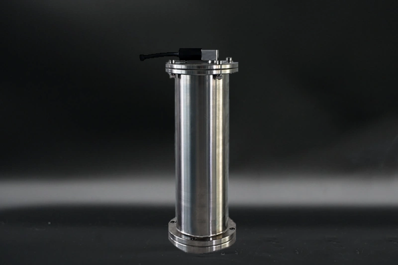
OCEAN-SPCM
Single-Point Current Meter- Single-point current records
- Low-power long deployments
- Array-friendly
Role: long-term point records above and below the interface, complementing the profiler at minimal power.
View product →06 FIELD NOTES
- Choose the seabed, not the mooring line — at a sill with reversing two-layer flow, a bottom frame removes line motion, tilt and layover errors — the geometry that made Camarinal's records trustworthy.
- Resolve the shear layer, not just the layers — the interface near 147 m is where maximum shear concentrates; 1–4 m cells around it convert a single profile into a genuine two-layer measurement.
- Expect internal bores — bores arrive with ±50 cm/s vertical velocities and sharp shears; wide velocity range and 2 Hz sampling capture the event rather than aliasing it.
- Budget for biofouling and fishing pressure — titanium housings, robust frames and acoustic releases designed for long soak times are part of the measurement plan, not afterthoughts.
🎯 Planning a Long-Term Ocean Observation Program?
Endurance-first instruments for multi-year sill and strait records — from seabed frames to calibration transects.
🔍 Explore Ocean ADCP SeriesAlso see: OCEAN-SPCM · Questions? Contact our technical team