Strait of Magellan & Magallanes Fjords
Patagonia, Chile
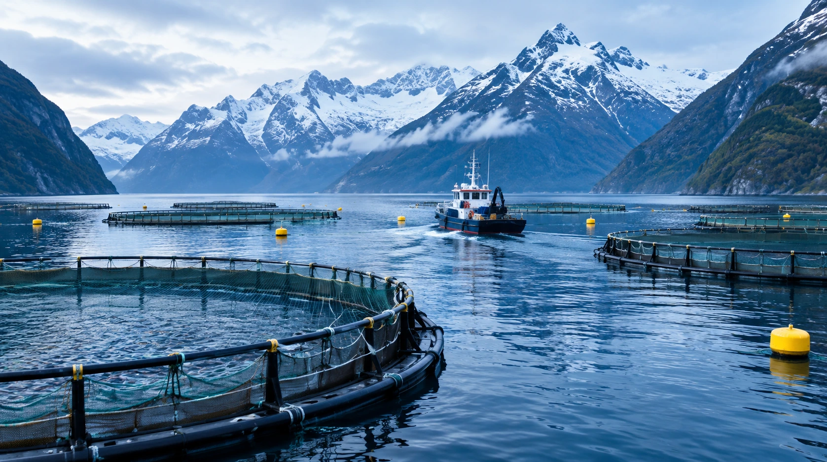
Chile's Magallanes region is one of the world's most important salmon-farming frontiers. Behind its cages sits a sophisticated oceanographic operation: circulation models, current measurements in narrow passes, and dispersion forecasts that decide where farms may sit and how they are managed.
01 THE SETTING
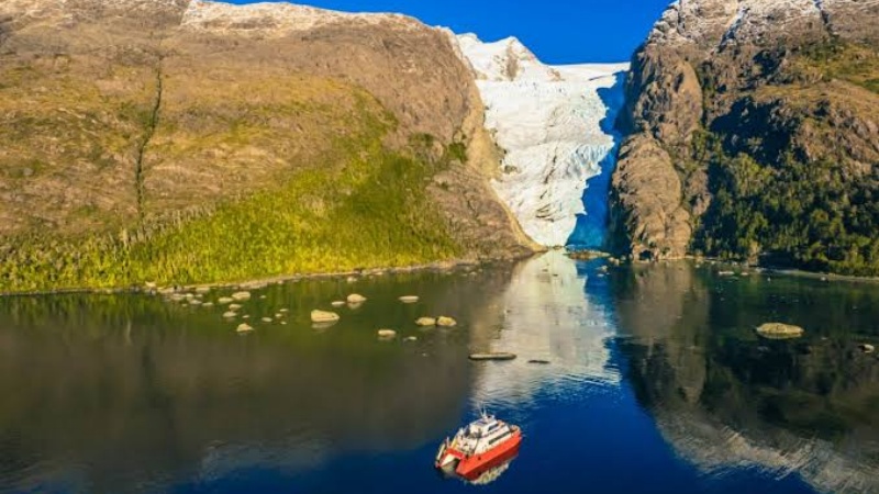
The Magallanes region at Chile's southern tip — the Strait of Magellan, Seno Skyring, Golfo Almirante Montt and the surrounding channels — is a demanding environment: deep fjords, strong tidal influence in the western basins, estuarine circulation driven by freshwater and glacial discharge in the eastern ones, and narrow passes that throttle exchange between basins.
Chile's Instituto de Fomento Pesquero (IFOP) has run a succession of programs since 2012 to turn this geography into managed oceanography: circulation-pattern studies, high-resolution reanalysis, and an operational forecasting system supporting aquaculture management across the region. Current measurement sits at the center of every one of them.
02 WHAT THE DATA SHOW
IFOP's Magallanes program shows the full architecture of operational aquaculture oceanography:
- High-resolution models of the Seno Skyring–Strait of Magellan system at ~100 m maximum resolution, and of Golfo Almirante Montt at ~80 m — fine enough to resolve individual farm-scale circulation;
- Direct current measurements added in the Kirke and Santa María passes — narrow constrictions where flow accelerates and where the exchange between basins is set;
- Zonal differentiation — the western basin is tidal and stratified with modified oceanic water; the central and eastern basins are estuarine, wind- and freshwater-driven. One model, several regimes, each needing its own validation data;
- Core monitoring variables — salinity, temperature and dissolved oxygen, supplemented with currents, sea level and wind — currents are on the official list for farm environmental diagnosis.
03 WHERE CURRENTS THREATEN OPERATIONS
Feed & feces dispersion
Uneaten feed and waste settle where currents take them; deposition under and around cages is a flow-driven quantity — and the basis of environmental licensing.
Oxygen renewal
Cage biomass consumes oxygen; the current decides how fast depleted water is replaced — a matter of fish welfare and carrying capacity.
Pathogen dispersal
ISA virus, sea lice and other agents spread along current pathways; circulation models underpin sanitary emergency response and fallowing decisions.
Harmful algal blooms
Bloom drift and retention are current-driven; early warning depends on knowing where the flow will carry a bloom before it reaches the cages.
04 MEASUREMENT STRATEGY BY ZONE
| Zone | Requirement | Approach |
|---|---|---|
| Narrow passes (Kirke / Santa María-type) | Exchange between basins — the model's anchor | Shore-mounted side-looking horizontal ADCP, continuous cross-pass flow |
| Fjord basins & farm sites (20–100 m) | Estuarine two-layer flow at cage depths | Bottom-mounted 600 kHz profilers resolving the pycnocline |
| Cage positions (long-term) | Local validation at the farm itself | Single-point current meters, multi-month records |
| Deep fjord basins (>100 m) | Coverage where 600 kHz reach runs out | 300 kHz profilers on seasonal moorings |
05 THE OCEANTEK SOLUTION
Fjord profilers, cage-site point stations and narrow-pass flow — the instrument set for farm-scale circulation management:
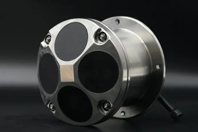
Ocean-ADCP-600-FA4
Ocean ADCP · 600 kHz- 70 m profiling range
- ±20 m/s, ±0.3% accuracy
- Titanium housing to 6000 m
- ≤10 W · self-contained ≥100 days
Role: high-resolution profiles through the depths where cages sit, resolving the estuarine two-layer structure.
View product →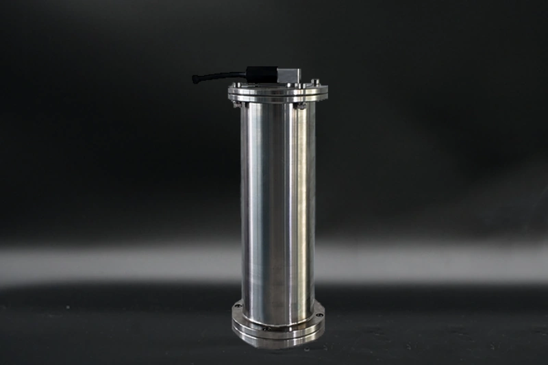
OCEAN-SPCM
Single-Point Current Meter- Single-point current records
- Low-power long deployments
- Array-friendly
Role: multi-month point records at the farm itself — the local validation layer.
View product →

HADCP-600
Horizontal ADCP · 600 kHz- 90 m horizontal range
- ±20 m/s velocity range
- 20 m depth rating, wall mount
- 2 horizontal beams + 1 vertical
Role: continuous cross-pass flow where exchange between basins is set — the Kirke/Santa María geometry.
View product →For the deeper fjord basins beyond 100 m, the Ocean-ADCP-300-FA4 (160 m profile) extends the same program on seasonal moorings.
06 FIELD NOTES
- Resolve the two layers — fjord flow is estuarine, often flowing in opposite directions at surface and depth; 0.5–2 m cells near the pycnocline convert a profile into a genuine two-layer measurement.
- Protect instruments from the farm itself — cage infrastructure, mooring lines and service vessels are hazards as real as any current; coordinate positions with the farm operator and mark instruments for boat traffic.
- Watch biofouling budgets — fjords are productive; long soak times demand housings that survive heavy fouling, and titanium removes the anode-maintenance burden.
- Pair currents with the water-quality suite — current records earn their keep when co-registered with temperature, salinity and oxygen; single-point meters deployed alongside CTD-style loggers give the full diagnostic picture from one visit.
🎯 Monitoring Currents for Aquaculture or Coastal EIA?
Fjord profilers, cage-site point stations and narrow-pass flow — the instrument set for farm-scale circulation management.
🔍 Explore Ocean ADCP SeriesAlso see: HADCP-600 Horizontal ADCP · OCEAN-SPCM · Questions? Contact our technical team