Port of Rotterdam, Maasvlakte 2
North Sea, Netherlands
Building Europe's largest port extension meant closing an 11 km sea defense in the North Sea under currents that changed by the day. The project's answer — a daily current-forecast loop feeding every working vessel — is the template for any port construction in tidal water.
01 THE SETTING
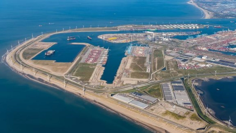
Maasvlakte 2 is the largest land reclamation in the modern history of the Port of Rotterdam: a 2,000-hectare extension built directly on the North Sea coast, defended by an 11 km sea defense constructed in waters up to 18 m deep and completed in April 2013. The works sit in a tidally driven environment where the Rhine–Meuse outflow meets North Sea tides — current, not wave, dominates the engineering.
Two features made current management central to the project. First, phased construction of the sea defense meant the flow field around the works changed continuously as new sections closed. Second, connecting the new basins to the existing harbor network permanently altered tidal circulation in the approach channels — a change that would outlive construction.
02 WHAT THE DATA SHOW
The final closure of the sea defense — the "zandsluiting" (sand closure) — created the project's most dangerous working conditions:
- Cross-current intensified across the remaining opening, with constantly shifting flow patterns as each closure stage changed the geometry;
- A turbulent jet issued from the gap itself, accelerating flow through the constriction;
- There was no room for error — one side of the approach was the already-completed hard sea defense, which a hopper dredger under cross-current could not touch.
Published project documentation describes the situation bluntly: vessels faced a severe navigation situation with current patterns that legacy charts could not describe, because the bathymetry that drives the currents was being modified weekly by the works themselves. Separately, TU Delft research modeled how connecting the new basins would increase tidal volume and abruptly alter current conditions in the navigation channels — including around the Papegaaiebek turning basin, where vessels execute a 180° turn — concluding that pilots and skippers would need briefing on the new flow regime before the works opened.
03 WHERE CURRENTS THREATEN OPERATIONS
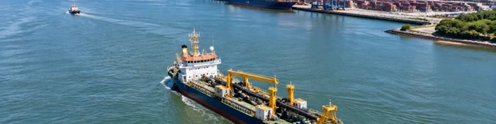
Dredger safety at the gap
Cross-current plus gap jet against a hard sea defense left no recovery path for a working vessel — every day's operations were planned on that day's predicted flow.
Pilotage in a changed regime
New basin connections permanently shifted channel currents; a turning maneuver designed for the old flow would fail in the new one, so pilots were briefed before the works opened.
The 180° turn
At the Papegaaiebek basin, vessels execute a full reversal under cross-flow — the single maneuver most sensitive to current, and the one a model grid is most likely to misrepresent.
Forecast credibility
A daily model loop is only as trusted as its ground truth. Continuous measured cross-flow at the entrance is what keeps the forecast authoritative enough for vessels to act on.
04 MEASUREMENT STRATEGY BY LOCATION
The daily forecast loop ran on a 24-hour rhythm — survey bathymetry into the FINEL model with wind and pressure forcing, predictions pushed to vessels — but its credibility rested on measured ground truth at four positions:
| Location | Requirement | Measurement Approach |
|---|---|---|
| Entrance & closure-gap approaches | Real-time cross-flow during construction | Fixed side-looking horizontal ADCP on quay wall or pier, continuous output |
| Works area (≤18 m) | Vertical current structure at the gap | Bottom-mounted 600 kHz moorings surviving months in a construction zone |
| Approach channels | Model calibration data | Vessel-mounted 300 kHz transects feeding the FINEL-type model |
| Turning basin (Papegaaiebek-type) | Cross-flow at the 180° turn | Wall-mounted horizontal ADCP, two-person installation, feeding VTS and pilot briefing |
05 THE OCEANTEK SOLUTION
The project's pattern — models and instruments as one system — maps directly onto the Oceantek lineup:

HADCP-600
Horizontal ADCP · 600 kHz- 90 m horizontal range
- ±20 m/s velocity range
- 20 m depth rating, wall/pier mount
- 2 horizontal beams + 1 vertical
Role: continuous ground truth at the entrance and turning basin — the fixed instrument that keeps the daily forecast honest.
View product →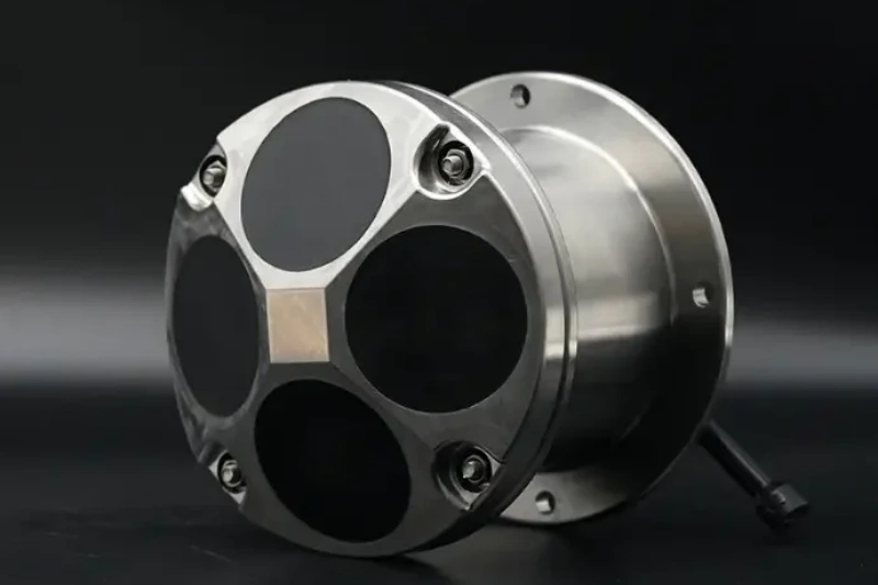
Ocean-ADCP-600-FA4
Ocean ADCP · 600 kHz- 70 m profiling range
- ±20 m/s, ±0.3% accuracy
- Titanium housing to 6000 m
- ≤10 W · self-contained ≥100 days
Role: works-area moorings resolving the vertical structure at the gap through every closure stage.
View product →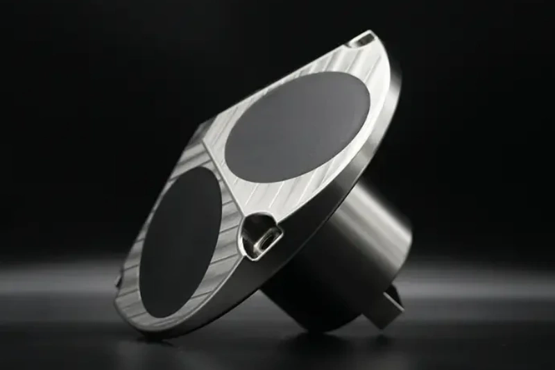
Ocean-ADCP-300-FA4
Ocean ADCP · 300 kHz- 160 m profiling range
- 1–8 m cells
- ±20 m/s velocity range
- ≤10 W · PD0 output
Role: vessel transects that feed the FINEL-type model with measured velocity sections — the calibration layer.
View product →06 FIELD NOTES
- Re-baseline after every closure stage — each new section of sea defense changes the flow field; instruments sited from pre-stage charts measure the previous regime.
- Treat models and instruments as one system — the fixed ADCP validates the model precisely where its grid is coarsest, at narrows and turning basins.
- Think in daily cycles, not campaigns — during a closure, yesterday's current data is historical; the winning rhythm is survey → model → forecast → measurement → next survey.
- Build the turning basin into the plan — where ships execute 180° turns, a wall-mounted horizontal ADCP pays for itself in pilot confidence alone.
Building or Expanding a Port in Tidal Water?
Fixed cross-flow monitoring at entrances, works-area moorings and calibration transects — the Oceantek lineup covers the full port-construction measurement chain.
Explore Ocean ADCP SeriesAlso see: HADCP-600 Horizontal ADCP · Questions? Contact our technical team