Gulf of Mexico Loop Current
Deepwater, USA
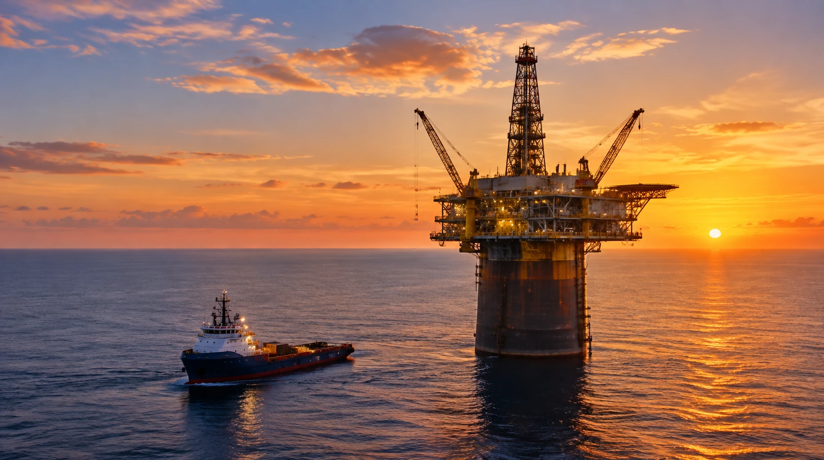
The deepwater Gulf of Mexico is the only ocean region on Earth where ocean current monitoring is a legal requirement for oil and gas operations. One regulator's rule turned the Gulf into the largest ADCP measurement network in history — and the template for deepwater current programs everywhere.
01 THE SETTING
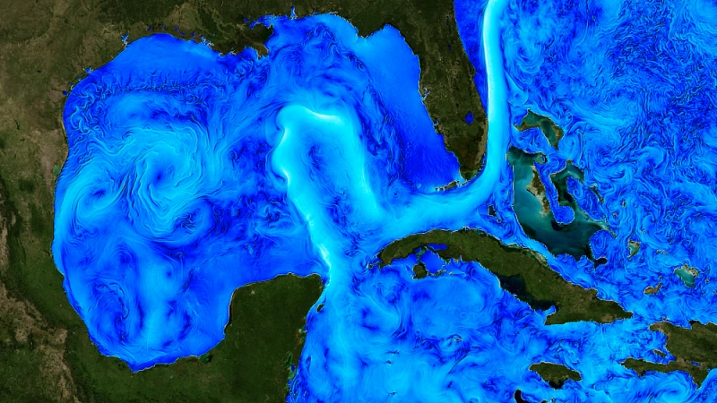
In 2005, the US Minerals Management Service issued Notice to Lessees NTL 2005-G02, requiring ocean current monitoring for floating production facilities and mobile offshore drilling units in water depths greater than 400 m. The regulation formalized what deepwater operators had learned the hard way: the Gulf's Loop Current — the warm jet that enters through the Yucatán Channel, loops through the eastern Gulf and exits through the Florida Straits — and the eddies it sheds are design-level hazards, not curiosities.
The Gulf also became the proving ground for deepwater measurement. Programs like the SAIC Exploratory Study of Deepwater Currents (2003–2004), the MMS/CICESE Mexican waters study — a mooring in 3,400 m of water carrying six single-point current meters and three ADCPs — and the GULL and Gumbo mooring programs along the Sigsbee Escarpment built the knowledge base the regulation now requires operators to maintain.
02 WHAT THE DATA SHOW
Deepwater currents above roughly 1 knot (0.5 m/s) become destructive through two mechanisms:
- Vortex-induced vibration (VIV) — alternating vortex shedding from risers and mooring lines accumulates fatigue damage that shortens service life; the damage is proportional to the current profile, so where the flow is fast matters as much as how fast.
- Vortex-induced motion (VIM) — entire hulls (spars, semi-submersibles) oscillate when eddy currents strike at the right angle, straining mooring systems and risers simultaneously.
- Episodic fronts — Loop Current eddies are episodic and frontal: a platform can go from calm to 2+ knot currents in hours as an eddy edge arrives. Continuous profiling, not occasional surveys, is the operational requirement.
- Hurricanes — storm-driven currents exceed tidal norms by multiples, feeding evacuation decisions and post-storm damage assessment.
03 WHERE CURRENTS THREATEN OPERATIONS
Riser & mooring fatigue
VIV consumes fatigue budgets continuously; the ADCP profile tells operators whether the design's damage assumptions match reality — before inspection finds cracks.
Hull motion (VIM)
Eddy-driven hull oscillations strain moorings and risers together; current data correlates the motion with the flow event that caused it.
Eddy-arrival operations
An eddy edge can arrive in hours; drilling, crane and offloading operations need the warning that only continuous or telemetered profiles provide.
Hurricane envelopes
Storm-forced currents feed evacuation go/no-go decisions and post-storm integrity checks — the two moments when the data is worth the most.
04 MEASUREMENT STRATEGY BY PLATFORM
Three decades of practice have produced a standardized three-layer architecture:
| Platform | Coverage | Approach |
|---|---|---|
| Rigs & production facilities | ~70–80 m below keel to ~1,000 m | 75 kHz-class ADCPs mounted beneath the keel, capturing the Loop Current and eddy layers |
| Deepwater moorings | Full column to the seabed (1,400–1,900 m+) | Long-term moorings at Green Canyon 782 and Keathley Canyon; GULL's 19 moorings along ~300 km of the Sigsbee Escarpment |
| Vessel transects | Loop Current fronts and eddy edges | 2,292+ vessel-mounted ADCP transects charting the sharp northern edge before it reaches platforms |
| Real-time buoys | Surface layer, telemetered | Compact profilers in buoy wells streaming eddy-arrival warnings |
05 THE OCEANTEK SOLUTION
Platform profilers, deep moorings and real-time buoy feeds — the Oceantek lineup covers the full Gulf-style measurement chain:
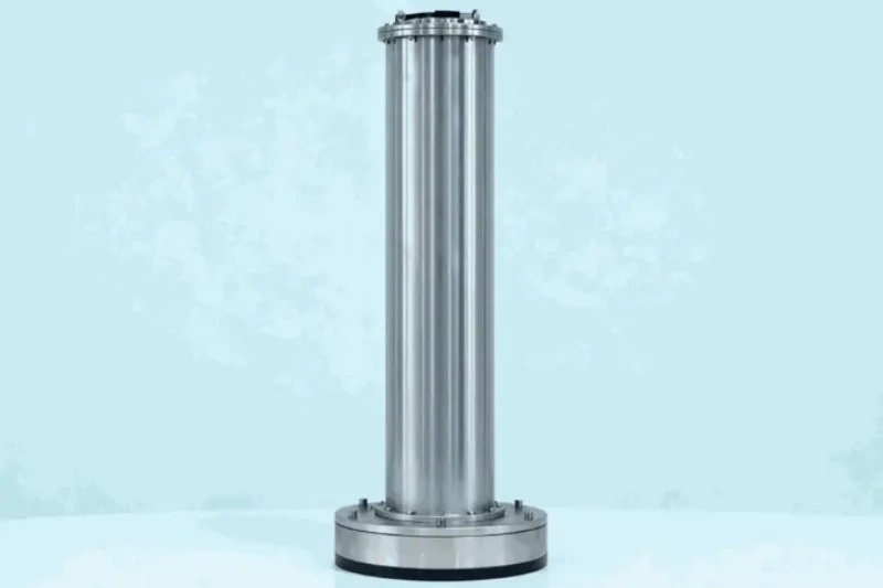
Ocean-ADCP-75-PA4
Ocean ADCP · 75 kHz- 550/650 m profiling range
- Bottom-track to 1000 m
- Titanium to 6000 m
- ≤20 W · direct-reading option
Role: the Loop Current workhorse — eddy layers to 1,000 m reach from a single instrument, platform-mounted or on deep moorings.
View product →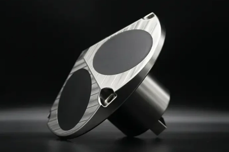
Ocean-ADCP-300-FA4
Ocean ADCP · 300 kHz- 160 m profiling range
- 1–8 m cells
- ±20 m/s velocity range
- ≤10 W · PD0 output
Role: finer vertical resolution in the top 160 m where VIM forcing and marine operations concentrate.
View product →
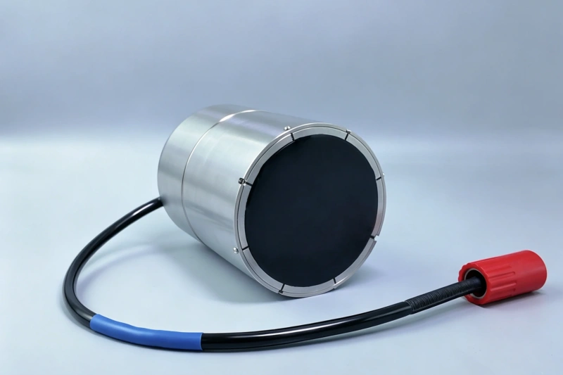
Ocean-ADCP-600-PA5
Ocean ADCP · 600 kHz phased array- 70 m profiling range
- 1.8 kg · ≤5 W
- ±20 m/s velocity range
- Titanium to 6000 m
Role: buoy-well deployments telemetering eddy-arrival warnings before the platform feels them.
View product →
For the inspection leg after eddy and hurricane events, DVL-equipped AUVs navigate by bottom tracking along risers, moorings and pipelines — the same DVL series that anchors Oceantek's underwater navigation lineup.
06 FIELD NOTES
- Size the battery for the longest event, not the average — a Loop Current eddy can park over a platform for weeks; a self-contained instrument must outlast it.
- Redundancy is compliance — a platform-mounted profiler failing during an eddy passage is a reportable problem, not an inconvenience; pair platform instruments with moorings and buoy feeds.
- Near-bed data matters — the RPSEA and Gumbo programs exist because seabed currents drive pipeline and foundation design; a 75 kHz bottom-mounted ADCP covers the near-bed layer directly.
- Hurricanes are part of the design envelope — the ±20 m/s range across the Oceantek lineup means a hurricane passage is measured, not missed.
🎯 Deepwater Current Monitoring for Offshore Operations?
Platform profilers, deep moorings and real-time buoy feeds — the Oceantek lineup covers the full Gulf-of-Mexico-style measurement chain.
🔍 Explore Ocean ADCP SeriesAlso see: DVL Series · Questions? Contact our technical team