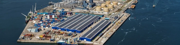
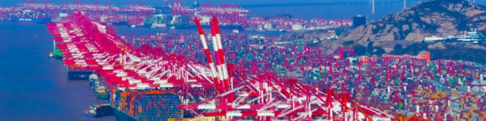
Port of Santos
São Paulo, Brazil
The Port of Santos — Latin America's largest port complex — is engaged in a permanent war against its own sediment. Entrance siltation of 250,000 m³ a month meets a deepening program pushing the channel from 15 to 16 m: the current-measurement strategy here decides whether either battle is won.
01 THE SETTING
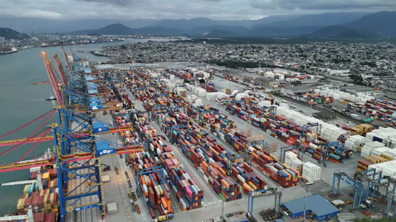
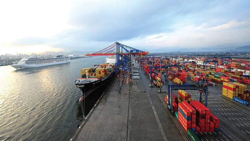
The Port of Santos sits inside an estuary that delivers a continuous supply of sediment from its hinterland rivers. The port complex stretches roughly 13 km along the channel, and its navigability depends on holding a dredged depth against a deposition rate that varies sharply by section and season — with summer rains and storm-surge events driving the worst pulses.
The result is a port where maintenance dredging is not a project but a permanent operating cost, run in seasonal campaigns with trailing suction hopper dredgers, backhoes and barges under an Ibama environmental license with real-time monitoring obligations.
02 WHAT THE DATA SHOW
Published sedimentation studies of the Santos channel describe a mechanism with a clear spatial signature:
- Section 1 dominates — at the channel entrance, where maritime and fluvial processes meet, sedimentation averages about 250,000 m³ per month (~8.7 cm/month) — roughly 46% of the port's entire siltation budget.
- The driver is estuarine tidal flow — tidal currents import and redistribute sediment continuously; storm surges amplify both transport and deposition, which is why campaigns cluster in summer and winter.
- Maintenance is a treadmill — the port has held 15 m for about 14 years through seasonal campaigns; a July campaign alone removed roughly 400,000 m³, followed by bathymetric surveys confirming the restored depth.
- Deepening changes the equation — published studies show deepening increases sedimentation rates and maintenance volumes, growing steeply with depth — the 15-to-16 m program must be paired with monitoring, or it buys depth it cannot hold.
03 WHERE CURRENTS THREATEN OPERATIONS
Holding the new depth
Deepening to 16 m raises siltation rates exponentially; the port has at times been forced to reduce maximum drafts for safety — the data justifying that call must be defensible to the shipping lines that pay for it.
Campaign timing
Deposition peaks seasonally and with storm surges; current records identify the transport windows so campaigns hit the peaks instead of chasing them.
Plume & turbidity compliance
Dredging runs under Ibama license with real-time monitoring; current speed and direction determine where plumes go and whether contract turbidity thresholds hold.
Post-dredge verification
Bathymetry confirms depth, but current records explain why a section refills faster than modeled — the input that tunes the next campaign.
04 MEASUREMENT STRATEGY BY ZONE
| Zone | Requirement | Approach |
|---|---|---|
| Entrance Section 1 | Tidal currents driving the 46% deposition | Bottom-mounted 600 kHz moorings through the highest-siltation section |
| Channel wall | Real-time flow for VTS and campaign windows | Side-looking horizontal ADCP, continuous cross-channel output |
| Outer channel | The maritime–fluvial transition | Vessel-mounted 300 kHz transects where Section 1 sits |
| Turbidity & disposal stations | Plume tracking at the Ocean Disposal Polygon | Single-point current meters paired with turbidity sensors |
05 THE OCEANTEK SOLUTION
Entrance moorings, channel-wall flow and calibration transects — the instrument set that keeps a deepened channel open:
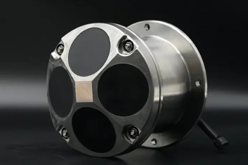
Ocean-ADCP-600-FA4
Ocean ADCP · 600 kHz- 70 m profiling range
- ±20 m/s, ±0.3% accuracy
- Titanium housing to 6000 m
- ≤10 W · self-contained ≥100 days
Role: moorings through the highest-siltation section, resolving the residual transport that drives deposition.
View product →
HADCP-600
Horizontal ADCP · 600 kHz- 90 m horizontal range
- ±20 m/s velocity range
- 20 m depth rating, wall mount
- 2 horizontal beams + 1 vertical
Role: continuous cross-channel flow for VTS-style operations and dredging campaign windows.
View product →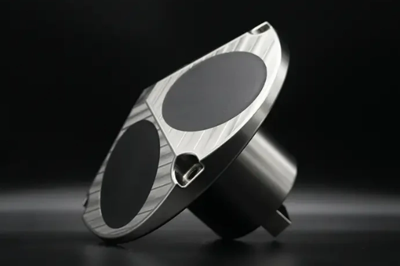
Ocean-ADCP-300-FA4
Ocean ADCP · 300 kHz- 160 m profiling range
- 1–8 m cells
- ±20 m/s velocity range
- ≤10 W · PD0 output
Role: vessel transects resolving the maritime–fluvial transition where Section 1 sits.
View product →
At the turbidity and disposal monitoring stations, the OCEAN-SPCM single-point current meter pairs with turbidity sensors for long-term plume-tracking records at the Ocean Disposal Polygon grid.
06 FIELD NOTES
- Time transects around plumes — dredge plumes are acoustically dense; surveys through them degrade. Schedule vessel work outside active dredging windows and treat the plume itself as a monitoring target via point stations.
- Measure the residual, not just the tide — the deposition is carried by the small flood–ebb difference; long self-contained records are what reveal it.
- Re-baseline after deepening — a deepened channel changes its own current regime and its own siltation pattern; post-deepening monitoring is a new measurement problem, not a continuation of the old one.
- Keep instruments off the dredge track — trailing suction hoppers run precise lines; mooring positions must be coordinated with the campaign plan so the instrument that measures the dredge does not become its next obstruction.
🎯 Running a Dredging or Siltation Program?
Entrance moorings, channel-wall flow and turbidity stations — the instrument set that keeps a deepened channel open.
🔍 Explore Ocean ADCP SeriesAlso see: HADCP-600 Horizontal ADCP · OCEAN-SPCM · Questions? Contact our technical team