River-ADCP-M9
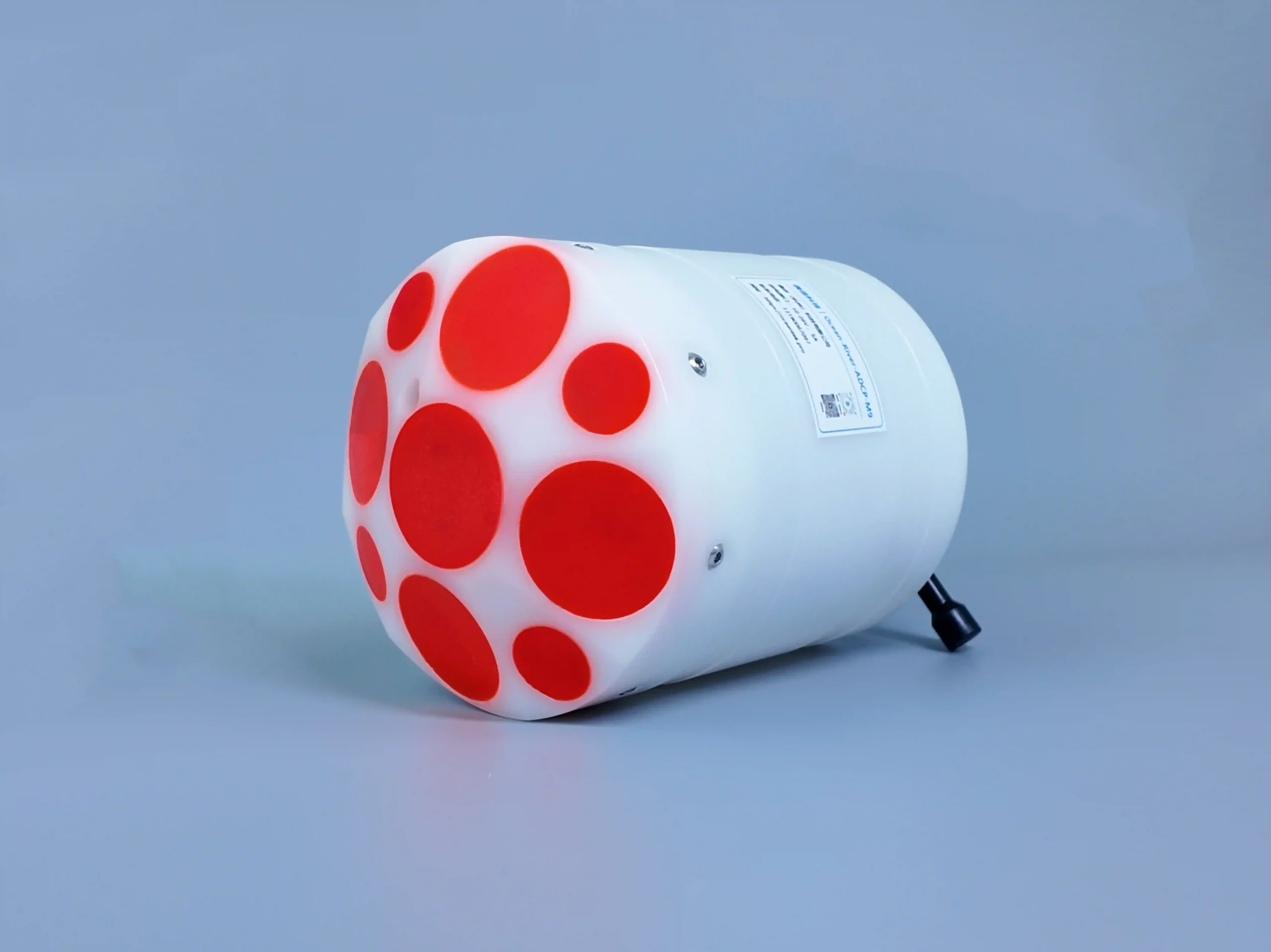
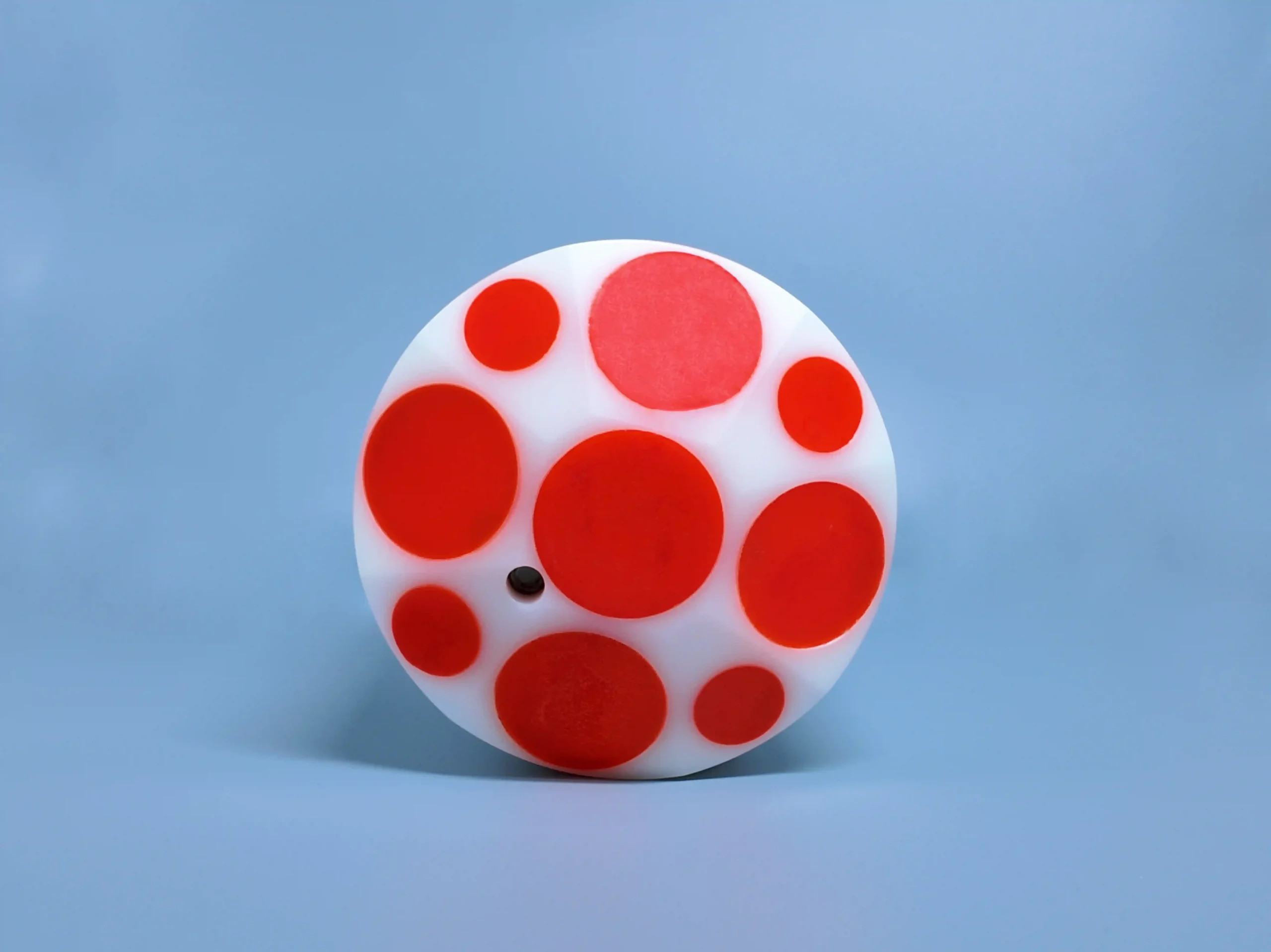
The River-ADCP-M9 is a 9-beam, muti-frequency acoustic Doppler profiler purpose-built for river discharge measurement. With two Janus arrays at 3.0MHz and 1.0MHz, plus a dedicated 0.5MHz vertical echo sounder, it simultaneously captures high-resolution velocity profiles, bathymetry, and riverbed topography — in a single pass across the channel.
Overview
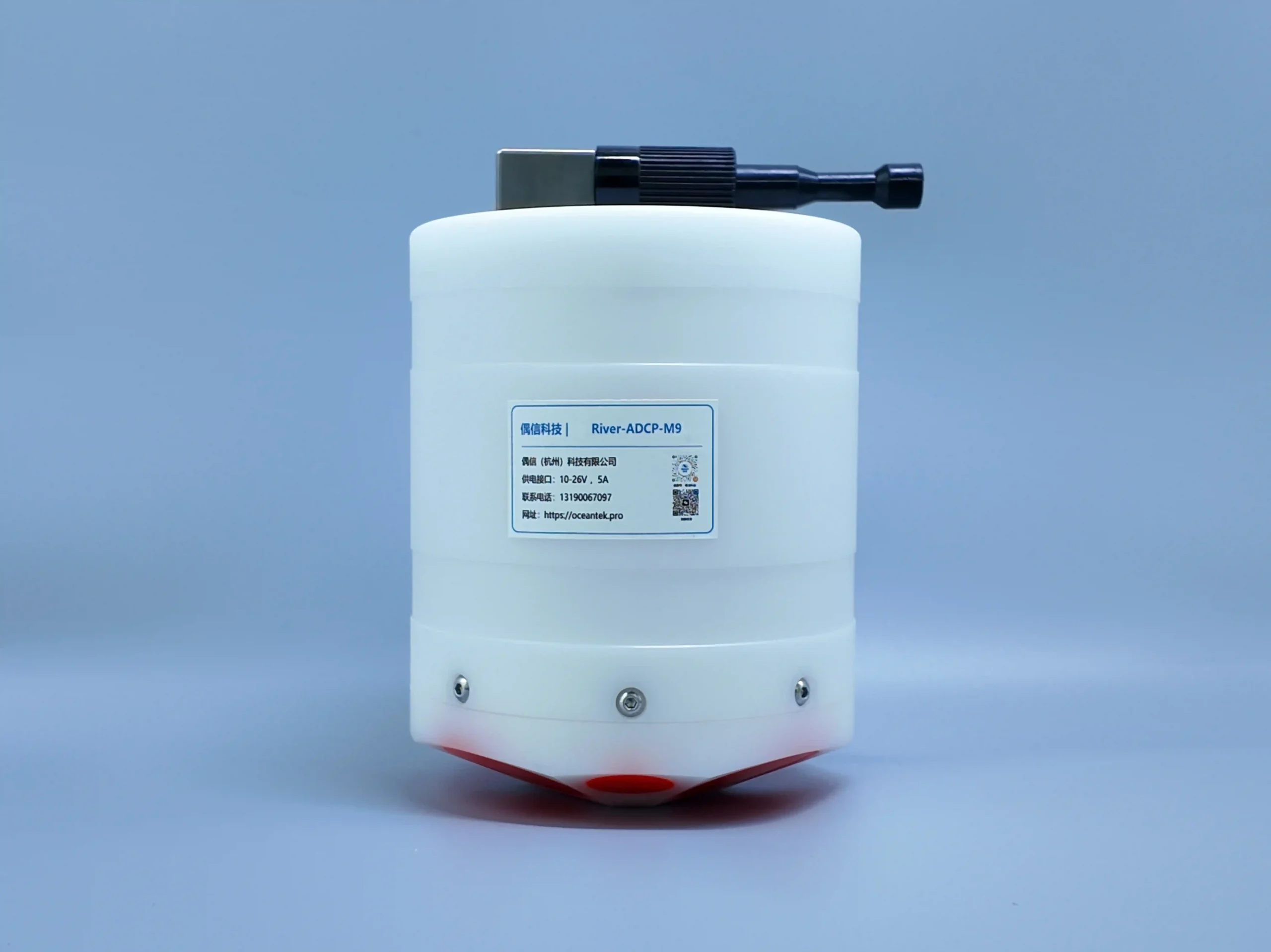
At ≤1.5 kg with a Φ128mm POM housing, it is the most portable instrument in the Oceantek portfolio — designed for one-person deployment from small boats, cableways, and bankside rigs. GNSS input enables georeferenced moving-boat discharge measurements. Cell sizes down to 0.02m and ±0.25% ± 2mm/s accuracy make it the highest-resolution instrument we build.
Key Features
±0.25% ± 2mm/s Accuracy
The highest-accuracy instrument in the Oceantek portfolio. 1mm/s velocity resolution, ±20m/s range, 0–360° directional sensing at ±2° — built for official discharge records.
0.02m Cell Size
Finest cell resolution of any Oceantek product. Resolve velocity structure in water columns as shallow as 0.06m — critical for small streams, canal cross-sections, and near-bank flow detail.
≤1.5 kg · Single-Person Portable
Φ128mm × 168mm, POM housing rated to 50m. The lightest instrument in the Oceantek lineup. Carry it in a backpack, deploy from an inflatable boat, rig it on a cableway — one person, no crane.
Integrated Bathymetry
0.5MHz vertical echo sounder measures riverbed depth to 80m. Oblique beams cover 40m. Simultaneous velocity + bathymetry = complete discharge cross-section in one traverse.
70Hz Internal Sampling · 2Hz Output
70Hz raw sampling captures turbulent fluctuations. 2Hz output rate with configurable averaging. Up to 255 cells per profile — tune for resolution or range.
64GB Onboard Storage · RS-232/422
Records full-resolution data for days of continuous surveying. Standard serial output for real-time laptop/tablet connection during surveys. Compatible with major discharge software.
Specifications
| Category | Technical Specification | Parameters |
|---|---|---|
| Velocity Measurement | Operation Mode | Direct Reading |
| Profile Range | 0.06-40m | |
| Typical Current Measurement Accuracy | ±0.25% ± 2mm/s | |
| Velocity Resolution | 1mm/s | |
| Velocity Range | ±20.0 m/s | |
| Flow Direction Range | 0-360° | |
| Flow Direction Accuracy | ±2° | |
| Number of Cells | 1-255 | |
| Cell Size | 0.02-4m | |
| Transducer | Number of Beams | 9 transducers; dual-beam 3.0MHz / 1.0MHz Janus; 1 x 0.5MHz vertical beam echo sounder |
| Beam Angle | 25° | |
| Depth Measurement | Height Measurement Resolution | 0.001m |
| Height Measurement Accuracy | 1% (0.02% with full water column sound speed correction) | |
| Height Measurement Range | 0.2-80m | |
| Bottom Track Range | 0.3-40m | |
| Discharge Measurement | GNSS/GPS Range | 0.3-80m, extrapolation above 40m |
| Internal Storage | 64GB | |
| Bathymetric Measurement | Range | 40m (oblique beams) - 80m (vertical beam) |
| Velocity Profile Measurement Range | ±10.0 m/s | |
| Communication | Communication Interface | RS-232 or RS-422 |
| GNSS/GPS Communication | RS-232 serial input | |
| Max Data Refresh Rate (Output Rate) | 2Hz | |
| Internal Sampling Rate | Up to 70Hz | |
| Sensors | Temperature Sensor | Accuracy: ±0.1°C; Resolution: 0.01°C |
| Pressure Sensor | Range: According to depth rating; Accuracy: ±0.25%; Resolution: 1mm | |
| Attitude Heading Reference Sensor | Range: Heading 0-360°; Accuracy (RMS): Roll ±1° | Pitch ±1° | Heading 0.8°; Resolution: 0.01° | |
| Power Supply | Power Supply Interface | 10-26V |
| Structure | Housing Material | POM |
| Environment | Operating Temperature | -5°C-45°C |
| Storage Temperature | -40°C-70°C | |
| Pressure Rating | 50m | |
| Physical Properties | Weight (in Air) | ≤1.5kg |
| Dimensions | Φ128mm × 168mm | |
| Optional | Available Options | - |
Applications
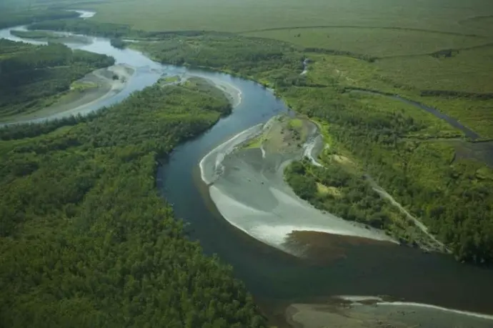
River Flow Measurement
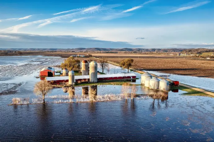
Water Conservancy Management
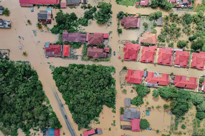
Flood Monitoring & Warning

Agricultural Irrigation
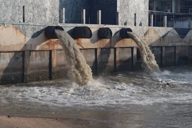
Water Environment Monitoring
River Navigation
Why Choose the River-ADCP-M9
Three reasons hydrological agencies choose the M9 for their field teams.
Carry It Anywhere
≤1.5 kg. Φ128mm. One person carries it in a backpack to a remote gauging site, deploys from an inflatable boat or cableway, and completes the survey alone. No boat crew, no crane, no vehicle-mounted rig. For hydrological agencies covering dozens of stations across difficult terrain, this portability is not a luxury — it’s operational necessity.
Resolution That Matches the Shallowest Rivers
0.02m cell size and 0.06m minimum profile depth. Most ADCPs — even river-specific ones — bottom out at 0.25m cells and ~0.5m minimum depth. The M9 profiles water columns that other instruments can’t even measure, making it indispensable for small-stream gauging networks and irrigation canal monitoring.
One Pass, Complete Cross-Section
9 beams, 3 frequencies, 1 traverse. Velocity profile, bathymetry, and discharge computed in real time as you cross the river. No separate echo sounder needed. No post-processing to merge velocity and depth data. One instrument, one survey, one complete discharge measurement — compliant with ISO 748.
Frequently Asked Questions
Quick answers about the Ocean-ADCP-600-FA4
Why 9 beams? How does the dual-frequency array work?
What software is compatible with the M9 for discharge measurement?
How does moving-boat discharge measurement work?
Can the M9 be used in very shallow water (less than 0.5m)?
Get a Quick quote
Tell us about your project and we’ll provide a customized quotation within 24 hours — including recommended configuration, lead time, and shipping.