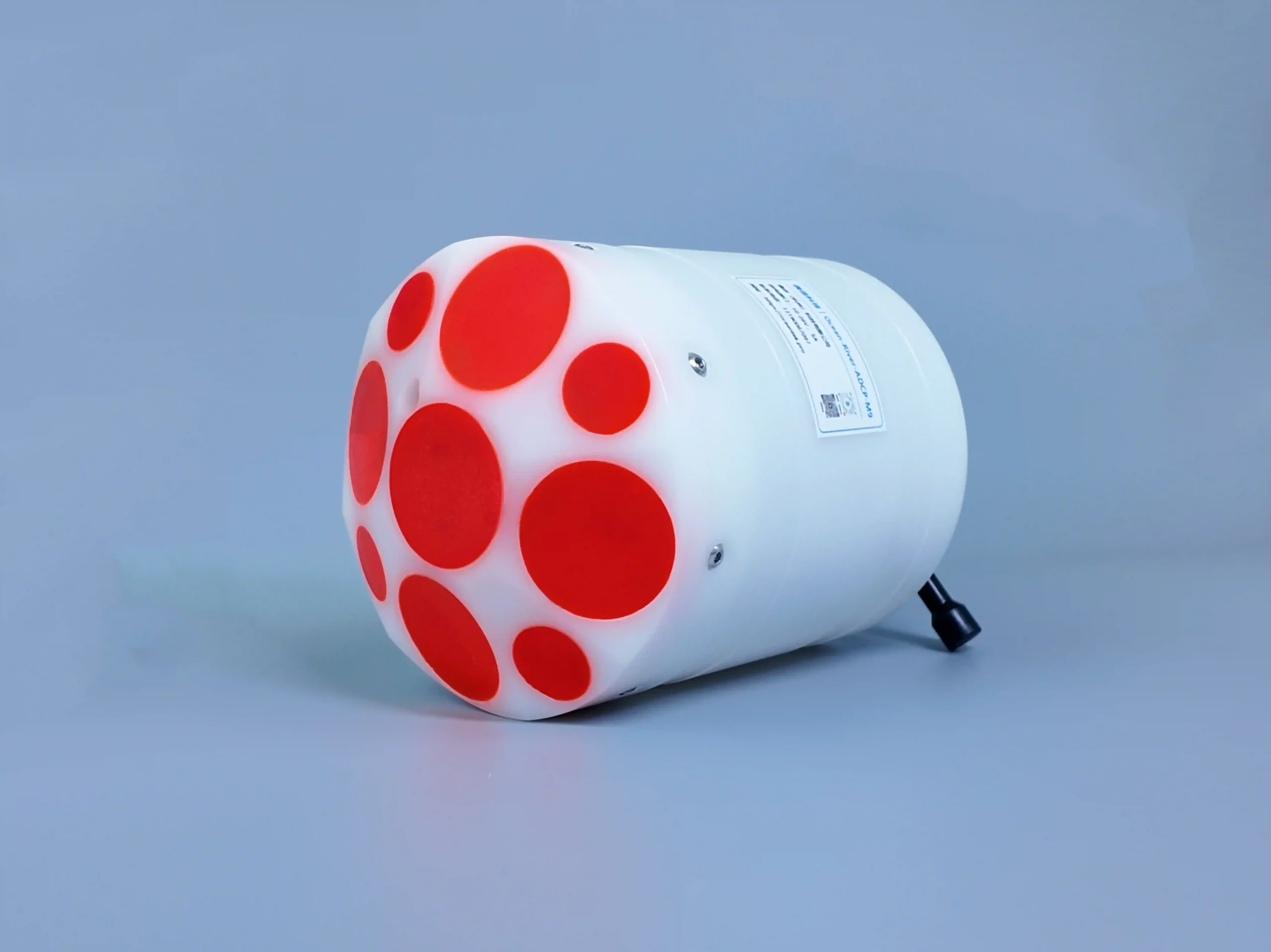
River-ADCP-M9
9-Beam Riverine ADCP, Engineered for Shallow Water Flow Measurement
Key Features: Dual Frequency 9-Beam River ADCP
Multi-Beam, Dual-Frequency River Profiling
Designed for complex river environments, with a 9-beam configuration combining dual-frequency Janus arrays and a dedicated vertical depth-measuring beam. Delivers full-section velocity and bathymetry data in a single pass.
Ultra-High Precision Flow & Discharge Measurement
Provides industry-leading velocity accuracy (±0.25% ±2 mm/s) and 1 mm/s resolution, supporting ±20.0 m/s maximum flow speeds and 0–360° directional sensing, ideal for accurate river discharge calculations.
Wide Profiling & Depth Coverage
Offers flexible profiling ranges from 0.06–40 m and bathymetric coverage up to 80 m, suitable for shallow to medium-depth rivers, braided channels, and variable-bed conditions.
Integrated Bathymetry & Topographic Mapping
Combines velocity profiling with depth and bathymetric measurement, enabling simultaneous flow and riverbed topography surveys to support hydrological modeling and river engineering projects.
GNSS-Enabled Positioning for Mobile Surveys
Integrated GNSS/GPS compatibility supports georeferenced discharge measurements from moving vessels, enabling efficient cross-section surveys and long-reach river monitoring.
High-Resolution & Customizable Profiling
Adjustable cell layer thickness (0.02–4 m) and up to 255 measurement layers, paired with a 2 Hz output rate, delivering both fine-grained resolution and responsive real-time data.
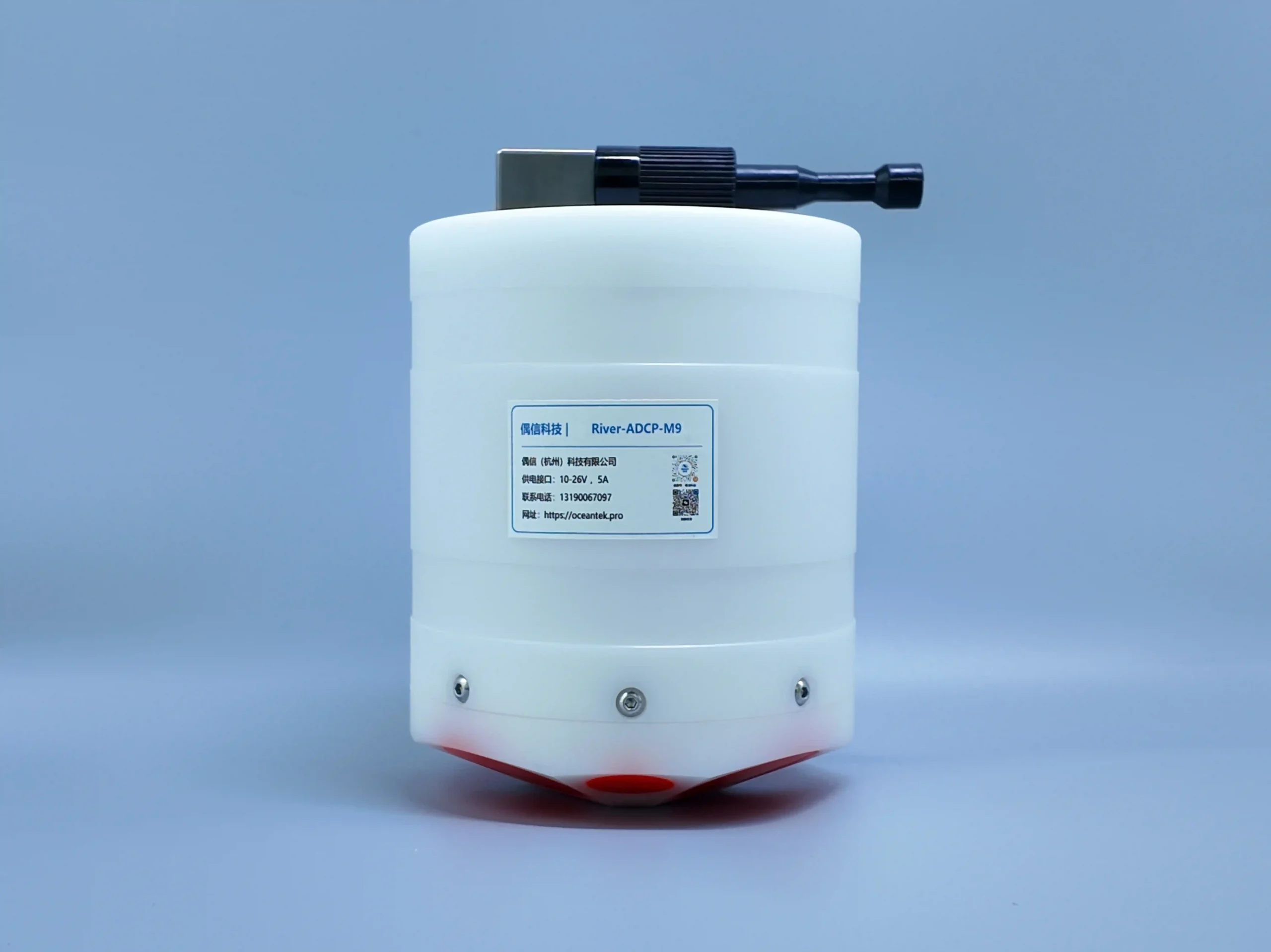
Compact, Lightweight & Portable Design
Extremely lightweight (≤1.5 kg) with a compact POM housing (50 m pressure rating), making it easy to deploy from small boats, kayaks, or bridges for flexible field surveys.
Rugged Sensors & Environmental Compensation
Equipped with precision temperature, pressure, and attitude sensors, ensuring stable and accurate data collection even in dynamic, high-turbulence river conditions.
Large On-Board Storage & Versatile Connectivity
64 GB internal memory supports long survey missions, with RS-232/RS-422 interfaces for seamless data transfer and integration with field computers and hydrological software.
Overview

Specificatons
| Category | Technical Specification | Parameters |
|---|---|---|
| Velocity Measurement | Operation Mode | Direct Reading |
| Profile Range | 0.06-40m | |
| Typical Current Measurement Accuracy | ±0.25% ± 2mm/s | |
| Velocity Resolution | 1mm/s | |
| Velocity Range | ±20.0 m/s | |
| Flow Direction Range | 0-360° | |
| Flow Direction Accuracy | ±2° | |
| Number of Cells | 1-255 | |
| Cell Size | 0.02-4m | |
| Transducer | Number of Beams | 9 transducers; dual-beam 3.0MHz / 1.0MHz Janus; 1 x 0.5MHz vertical beam echo sounder |
| Beam Angle | 25° | |
| Depth Measurement | Height Measurement Resolution | 0.001m |
| Height Measurement Accuracy | 1% (0.02% with full water column sound speed correction) | |
| Height Measurement Range | 0.2-80m | |
| Bottom Track Range | 0.3-40m | |
| Discharge Measurement | GNSS/GPS Range | 0.3-80m, extrapolation above 40m |
| Internal Storage | 64GB | |
| Bathymetric Measurement | Range | 40m (oblique beams) - 80m (vertical beam) |
| Velocity Profile Measurement Range | ±10.0 m/s | |
| Communication | Communication Interface | RS-232 or RS-422 |
| GNSS/GPS Communication | RS-232 serial input | |
| Max Data Refresh Rate (Output Rate) | 2Hz | |
| Internal Sampling Rate | Up to 70Hz | |
| Sensors | Temperature Sensor | Accuracy: ±0.1°C; Resolution: 0.01°C |
| Pressure Sensor | Range: According to depth rating; Accuracy: ±0.25%; Resolution: 1mm | |
| Attitude Heading Reference Sensor | Range: Heading 0-360°; Accuracy (RMS): Roll ±1° | Pitch ±1° | Heading 0.8°; Resolution: 0.01° | |
| Power Supply | Power Supply Interface | 10-26V |
| Structure | Housing Material | POM |
| Environment | Operating Temperature | -5°C-45°C |
| Storage Temperature | -40°C-70°C | |
| Pressure Rating | 50m | |
| Physical Properties | Weight (in Air) | ≤1.5kg |
| Dimensions | Φ128mm × 168mm | |
| Optional | Available Options | - |
Applications
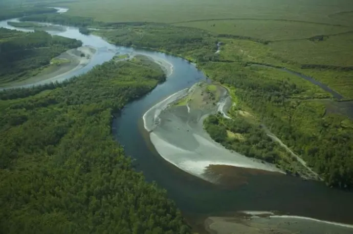
River Flow Measurement
Water Conservancy Management
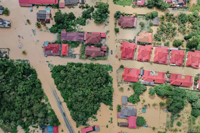
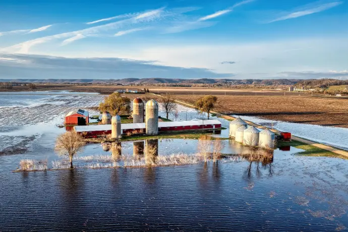
Flood Monitoring & Warning

Agricultural Irrigation

Water Environment Monitoring
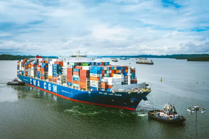
River Navigation
Why Choose Us?
High Reliability
Continuous operation: ≥100 days
Small Size
Far smaller size than global counterparts with equal performance
Cost-Effective
Stable performance, affordable and reliable

Manufacturer
Faster response & shorter delivery time
One Year Warranty
Extended warranty available. Contact us for details.
After-sales Service
After-sales support via email, telephone,social media such as WhatsAPP